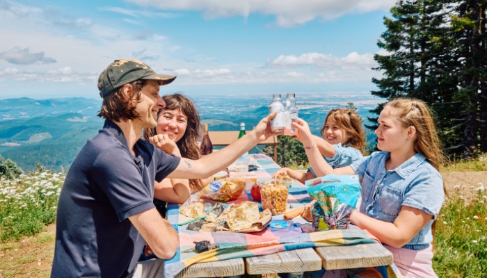

Biking the Marys Peak Climb
Marys Peak is an amazing place for anyone who likes to get outdoors, but for dedicated road cyclists, a ride to the highest point in the Oregon Coast Range is a bucket list event.
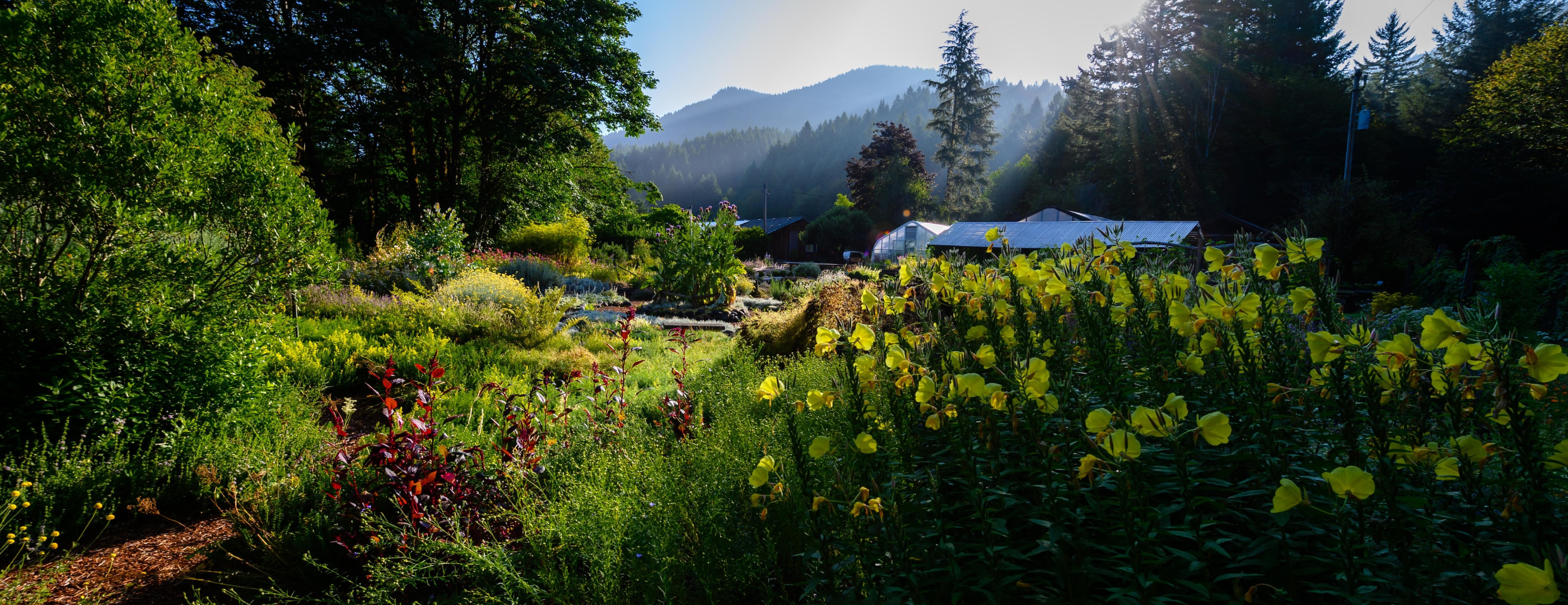
Marys Peak (map), located in the Siuslaw National Forest (map) and managed by the U.S. Forest Service, is there to be conquered if you have the mettle to pedal. The peak is 4,097 feet high. Our ride climbs to 3,760 feet.
“It’s a really good challenge for the avid cyclist,” says cyclist Bob Cortright, 61, of Salem. “If you like climbing, you will enjoy it.”
Our ride to the top of Marys Peak can be split into three parts: the Pleasant, the Prelude, and the Climb. It starts at the junction of Highways 20 and 34 in Philomath (map). Be aware that Highway 34 is a busy road with logging trucks in narrow spaces. We strongly recommend riding this route early on weekend mornings when truck traffic is reduced.
The Pleasant
Head southwest on Highway 34 for 6.5 miles. Enjoy wide road shoulders as you cruise through open spaces and scenic, lush panoramas. Highway 34 is a busy road but the shoulders allow you ample space to safely ride. Total elevation gain for this stretch of road is about 220 feet.
The Prelude
You’ll know the transition when you see it. The pavement narrows, the shoulder disappears, and the road begins to snake uphill. Stay to the right, find a comfortable gear and begin a 2.5-mile climb to Marys Peak Road (map). You’ll climb another 700 feet.
The Climb
Turn right on Marys Peak Road and brace yourself. The road goes uphill for 9 miles and another 2,560 feet. It’s a steady climb, too. You won’t find steep grades, but you also won’t get many respites along the way. There will be traffic on the road but everyone is going slow uphill and an early start helps you beat the rush.
After 14 miles on the bike, Marys Peak Road turns left. Don’t go there. Keep heading straight up the hill on your road, now marked NF-3010 (map). After countless bends in the road and a few vistas along the way, you will reach a parking lot at 3,760-foot altitude. You’ve made it.
The Downhill
Yes, what goes up must come down. Enjoy the descent.
Plan B
Bring the whole family to enjoy Marys Peak - without turning the pedals. Drive to Marys Peak Road and start your ride from there. Everyone else can drive to the top (map) and be there waiting for you when you arrive. They can have a cool drink and recovery food waiting for you.
Article and photo by Dan Shryock. Keep up with Corvallis news, events and happenings by signing up for our email newsletter.